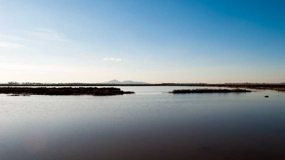
There is a particular kind of landscape that Australians are trained not to notice. Not a beach with surf. Not a forest. Flat country, low scrub, shallow brown water, enormous sky. It doesn't photograph well from a moving car and it has no lookout with a car park and a plaque. Avalon Beach is exactly that kind of place, and it is one of the finest walks in this ward.
I go there when I want to think. It's twenty-something minutes from Lara, there is rarely anyone else on the track, and the horizon is so low and so wide that you can see weather arriving from a long way off. If you have lived in Geelong for years and never walked it, this is the guide I wish somebody had handed me.
01 / Where it isGetting your bearings.
Avalon sits on the western shore of Corio Bay, between Lara and Point Wilson, on Wadawurrung country. It's part of a broader coastal system of saltmarsh, mudflat and shallow bay that stretches around the top of the bay — internationally significant wetland country, listed for its importance to migratory shorebirds, some of which arrive here from the northern hemisphere.
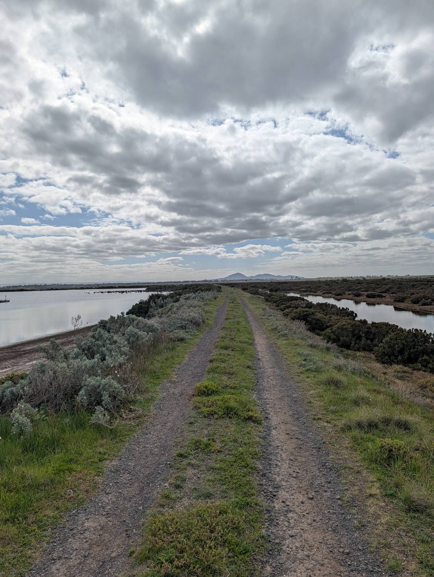
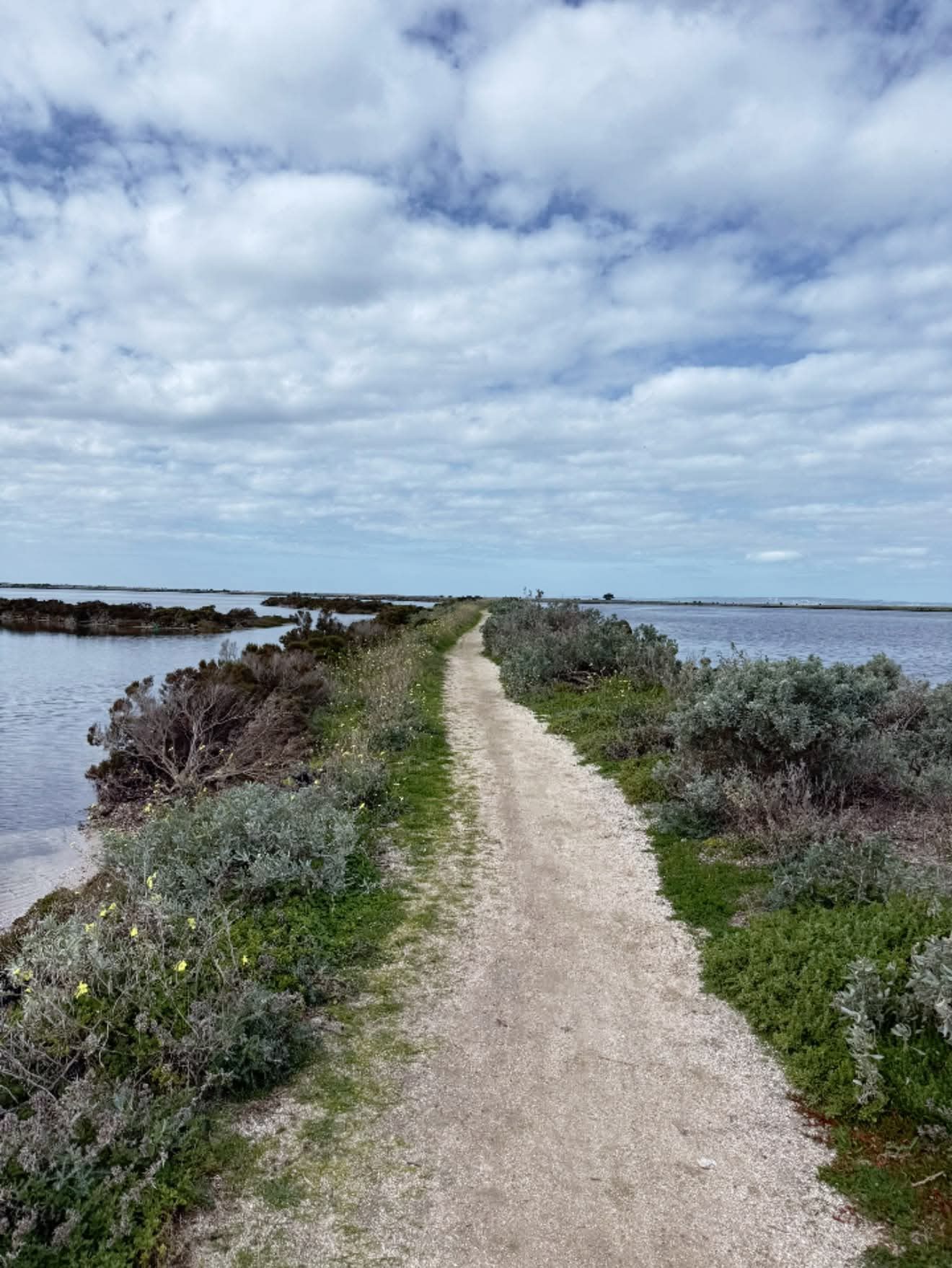
The tracks are largely former access roads and causeway embankments across the wetlands. They're flat, gravel or compacted earth, and generally run in long straight lines between bodies of water. That geometry is the whole appeal: you walk out along a raised path with water on both sides, and the further you go the more it feels like the land has quietly stopped.
This is a working landscape with genuinely complicated boundaries. Avalon has an airport, a refinery, defence-related land at Point Wilson, private property, and conservation reserve, all adjacent to each other. Some tracks are open public access; others are not, and some change with season, tides or works.
Check current access with Parks Victoria before you commit to a route, respect every gate and sign, and if something is signed as closed or restricted, it means it. Nothing in this guide overrides a sign on the ground.
02 / What the walking is likeFlat, long, and quiet.
The honest description: this is not a challenging walk. There are no hills, no scrambles, no steps. What it asks of you is different — it asks you to keep going in a straight line for longer than feels natural, with very little changing, until the scale of the place lands.
Know what you're signing up for
Four things about the terrain.
Genuinely flat
Causeway embankments and old access tracks. Almost no elevation change anywhere. Comfortable for most fitness levels and easy on the knees.
Exposed — completely
No shade. None. The vegetation is knee-high saltbush and samphire. What the sky is doing is what you get, and the wind off the bay is a real factor.
Soft or boggy after rain
The surface is compacted gravel and earth over saltmarsh. After decent rain, sections hold water and turn to grey clay. Wear shoes you don't mind losing.
Out-and-back, not loops
Most of it is linear. You walk out, you turn around, you walk back. Decide your turnaround point by time rather than distance — it's easy to keep going.
Track surfaces and open sections vary with seasonal conditions and management works. Confirm current access before setting out.
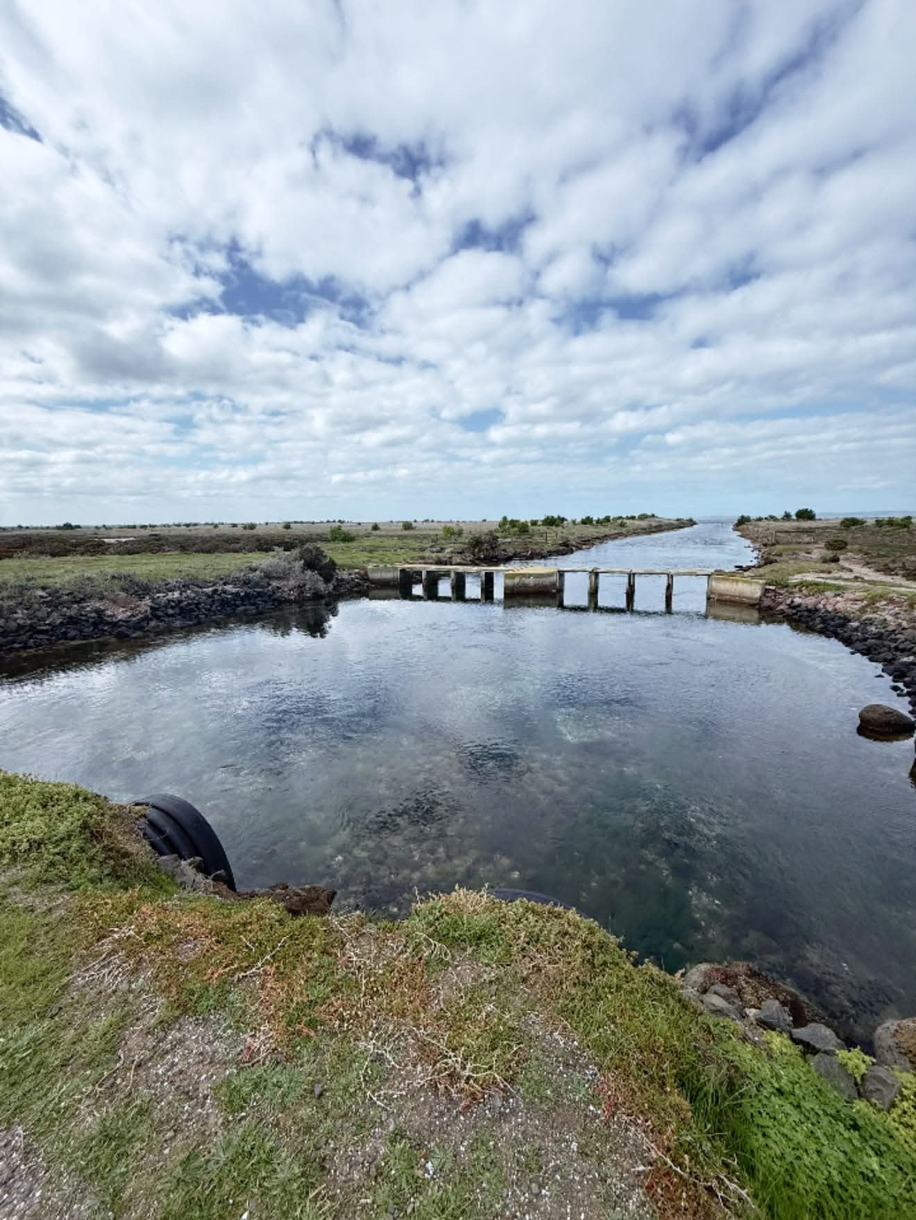
03 / The viewsWhere to look, and when.
This is the part worth planning around, because the views here are directional and they are time-of-day dependent in a way that most walks aren't.
Four ways to look
The views, by direction.
West — the You Yangs
The main event. From out on the causeways the You Yangs sit low and blue on the horizon across flat water, entirely uninterrupted. No powerlines, no houses, no foreground. It is the cleanest view of that range you will find anywhere in the region.
South — back to Geelong
On a clear day you can pick out the city across the top of the bay, sitting small and low on the far shore. It's a genuinely useful way to understand the shape of Corio Bay and how the northern suburbs sit around it.
East — the working shore
Refinery stacks, the airport, distant Melbourne on a very clear day. Industrial, and worth looking at rather than ignoring. It's the honest context of this landscape.
Down — the water itself
Don't miss this one. In still conditions the shallow water goes to complete mirror and the sky lands in it. Some of the best photographs here are taken pointing at your own feet.
Late afternoon puts the light behind the You Yangs and turns the range into a silhouette. Early morning gives you stillest water and best reflections.
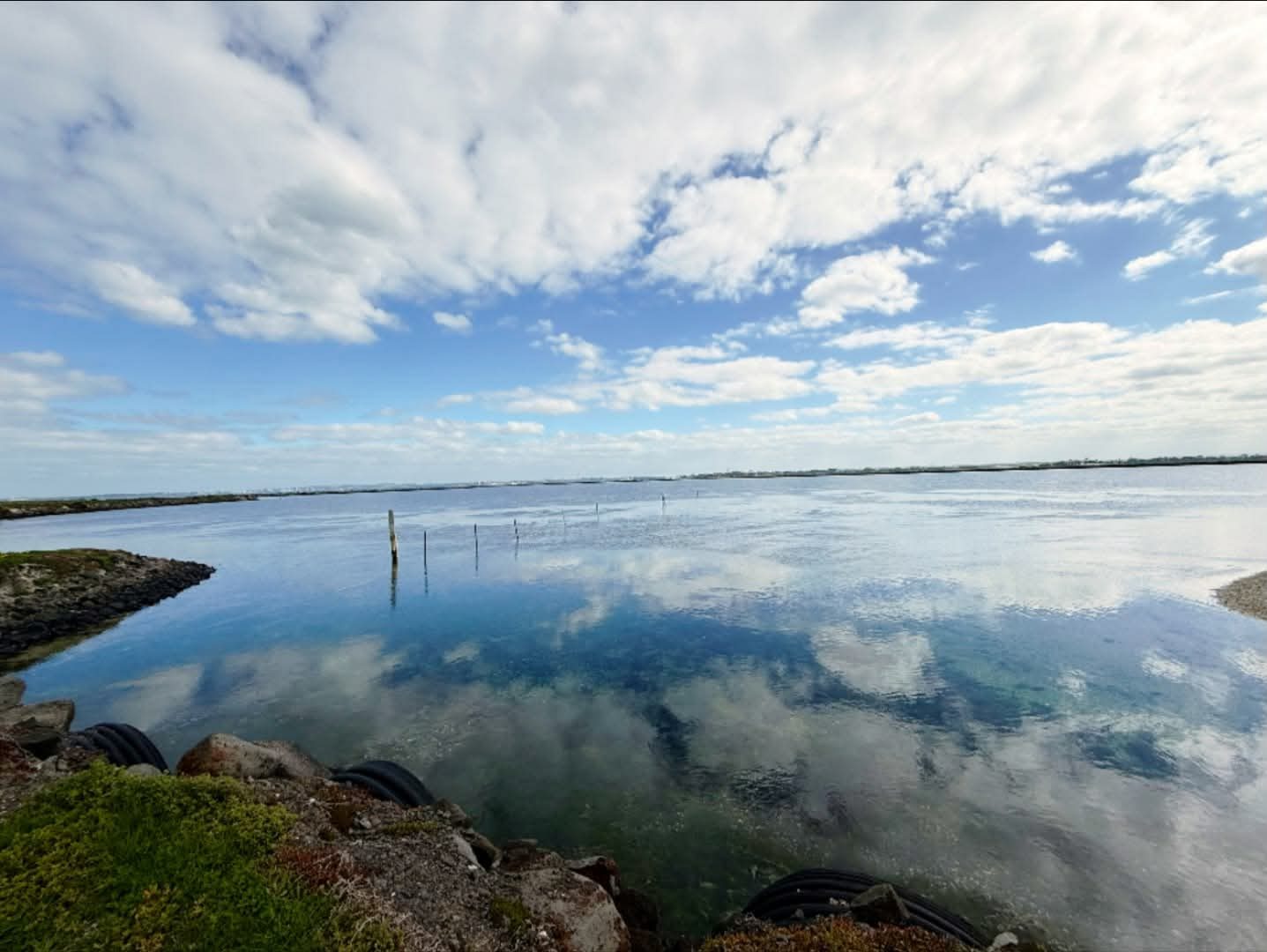
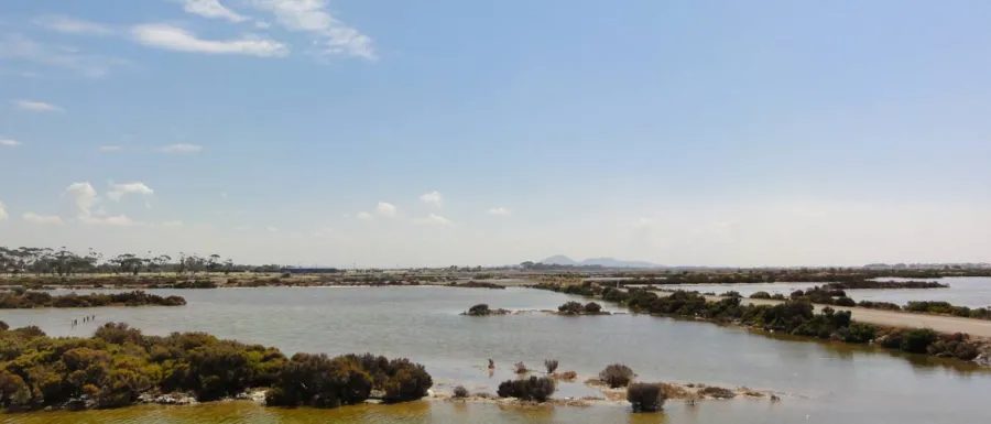
04 / The birdsWhy this place matters internationally.
Here is the thing most people driving past on the highway don't know. The wetlands around the top of Corio Bay and Port Phillip are of international significance for migratory shorebirds. Species that breed in Siberia and Alaska spend the southern summer on mudflats like these, feeding to build up reserves for a return flight measured in tens of thousands of kilometres.
You don't need to be a birder to find that remarkable. You are standing in a landscape that is a fixed point on a migration route spanning the planet, and it looks, to the untrained eye, like an empty paddock with water on it.
What you'll see
Birdlife, realistically.
Waterbirds — reliably
Pelicans, cormorants, ibis, spoonbills, ducks, swans. The shallow water and old timber structures give them places to loaf, and they use them constantly.
Shorebirds — seasonally
Migratory waders are most numerous over the southern summer, roughly spring through to autumn. In winter, numbers drop sharply as they head north.
Raptors — often
Open country with abundant prey. Kites and harriers working low over the saltmarsh are a common sight.
Bring binoculars
The birds here are usually distant by nature — they use the middle of the water precisely because it's safe. Binoculars change this walk more than they change most walks.
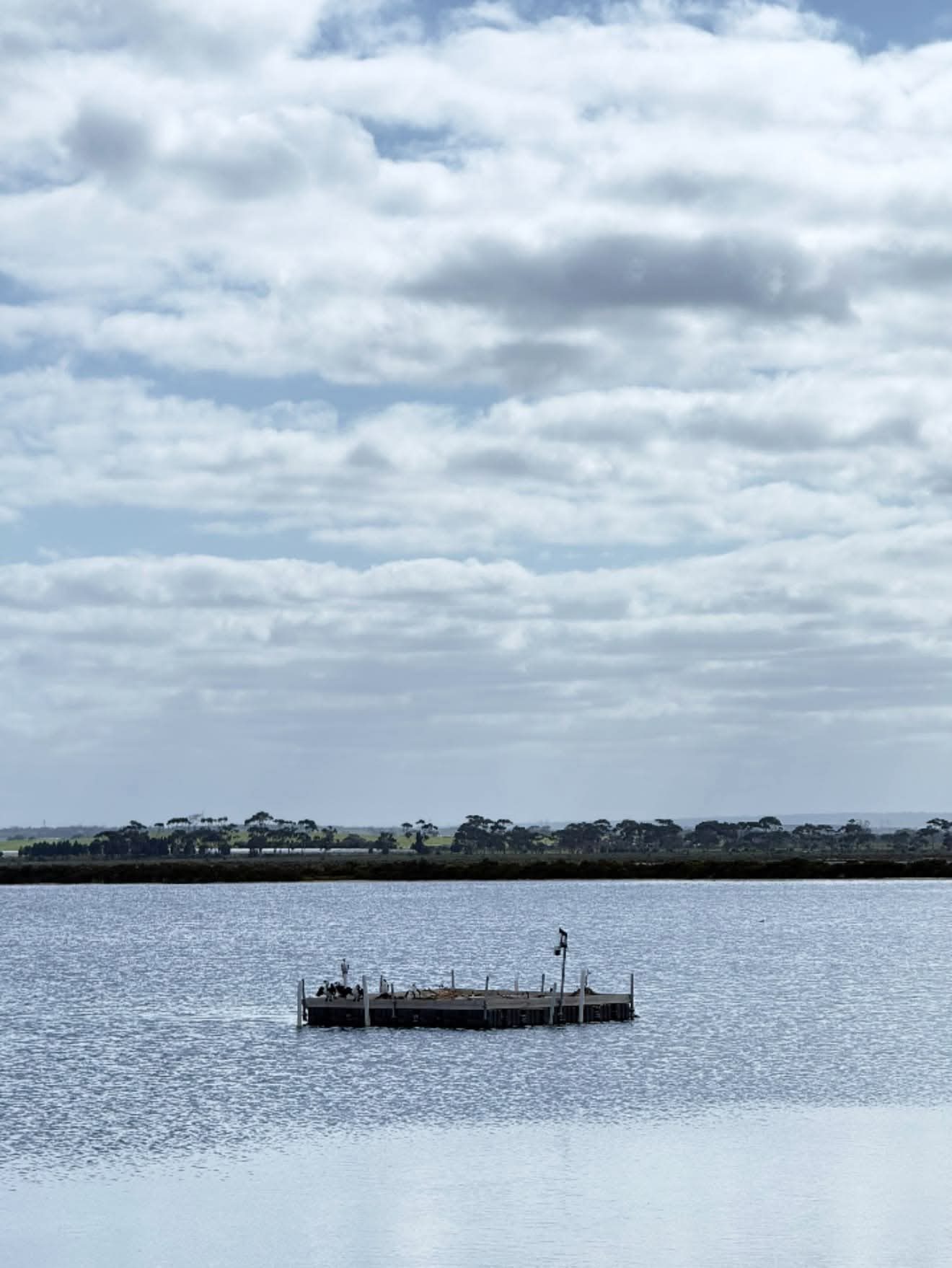
The one rule that really matters out here. Roosting and feeding shorebirds are extraordinarily sensitive to disturbance. A bird that flushes off a mudflat loses feeding time it cannot afford before a migration flight.
• Stay on the tracks. Saltmarsh is fragile, slow to recover, and full of nests you will never see.
• Don't approach flocks. If birds lift as you get closer, you were already too close. Watch from where you are.
05 / TimingWhen to go.
Time of day
Two very different walks.
Early morning or late afternoon
Still air, mirror water, active birds, long light across the saltmarsh, and the You Yangs either lit or silhouetted. Cool enough to walk a long way comfortably. This is when the place earns its reputation.
Middle of a hot, windy day
No shade anywhere, hard flat light that flattens the view, chop on the water killing the reflections, and a headwind for half the walk. Perfectly doable and considerably less rewarding.
Wind matters here more than temperature. A still 28-degree morning beats a windy 20-degree one comfortably.
Season-wise: spring and autumn are the sweet spot — mild, migratory birds present, and the saltmarsh at its greenest after winter rain. Summer is hot and exposed but the early mornings are superb. Winter is bleak in the good way, if you like that, and you will almost certainly have the entire place to yourself.
06 / What to bringA short list for an exposed walk.
Pack this
Six things, all of them because there's no shade.
More water than you'd think
Flat walking makes distance deceptive. You'll go further than planned and there is nothing out there.
Hat, sunglasses, sunscreen
Non-negotiable. Light reflects off water and pale gravel from below as well as above.
A windproof layer
Even on warm days. There is nothing between you and the bay.
Binoculars
The single biggest upgrade to this particular walk.
Shoes you don't love
Salt, grey clay, and mud after rain.
Everything back out with you
No bins, no facilities. Whatever comes in, leaves with you.
07 / Making a day of itCombining it with the rest.
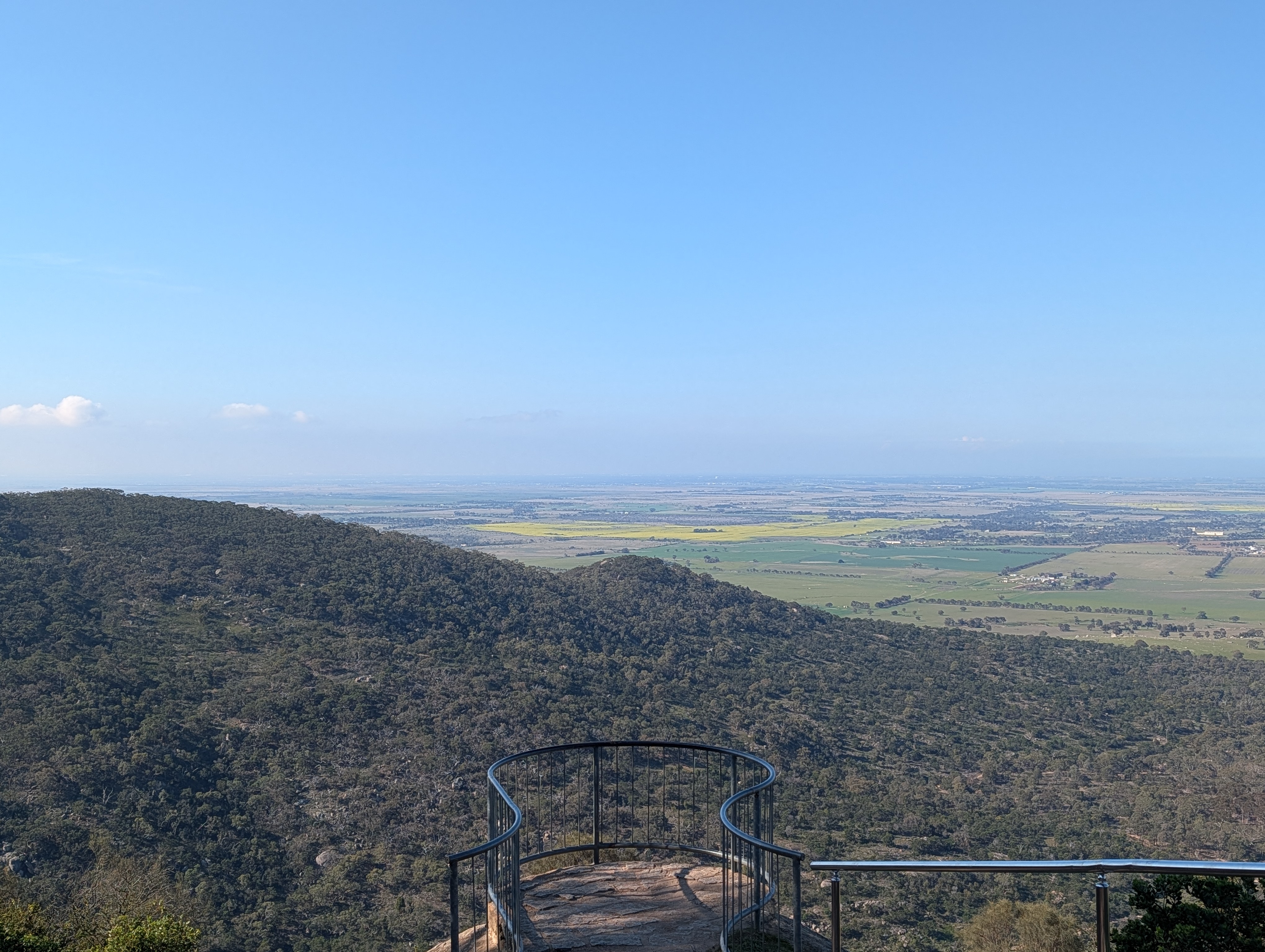
Avalon pairs neatly with the other quiet places in this corner of the ward. Serendip Sanctuary is close by for wetland birds in a managed setting, and the You Yangs give you the reverse view — standing on the range looking back down over the plains and bay you've just walked beside. Lara township has coffee in between.
A morning at Avalon, lunch in Lara, and an afternoon climb in the You Yangs is, in my view, one of the better days out available in Greater Geelong. It costs nothing and almost nobody does it.
08 / Why I keep going backThe case for flat country.
I'll be honest about the advocacy angle here, because there is one. Places like Avalon get overlooked in the way we talk about this region's assets. We market the coast, the ranges, the wineries. Flat saltmarsh with a refinery in the background doesn't make the tourism brochure.
But it should be in the conversation, and for two reasons. First, it is genuinely beautiful in a way that rewards a bit of attention, and it is right on the doorstep of the northern suburbs — free, flat, accessible walking country for communities that don't always get much of that. Second, it is ecologically significant at an international level, which means decisions about what happens around it matter well beyond the ward.
The places we don't put on the brochure are the ones that get traded away quietly. A landscape with a constituency who actually walk it is much harder to overlook.
So the ask is the same as always: go and see it. Take the binoculars, go early, walk further out than you meant to, and turn around and look back at the You Yangs across the water. Then you'll understand why I bother writing about a flat gravel track.