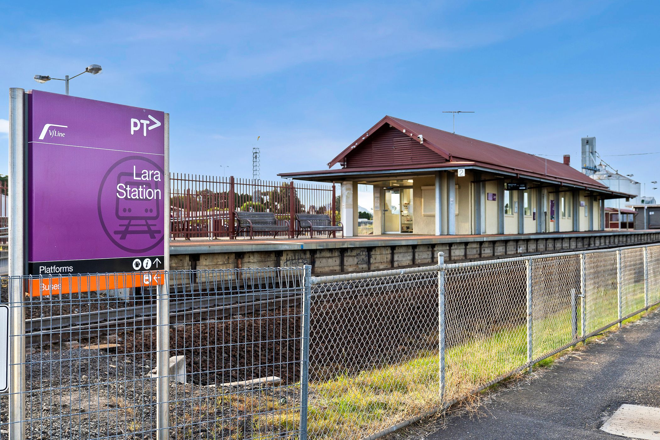
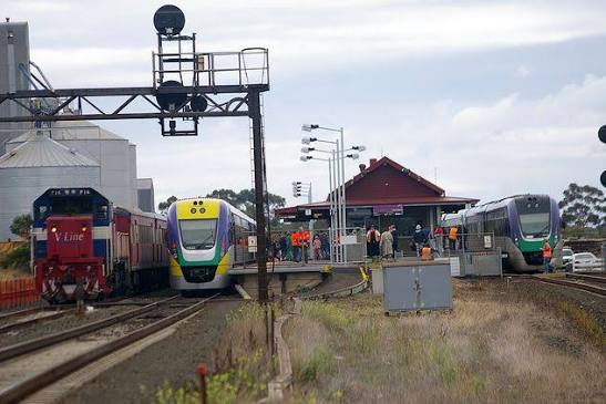
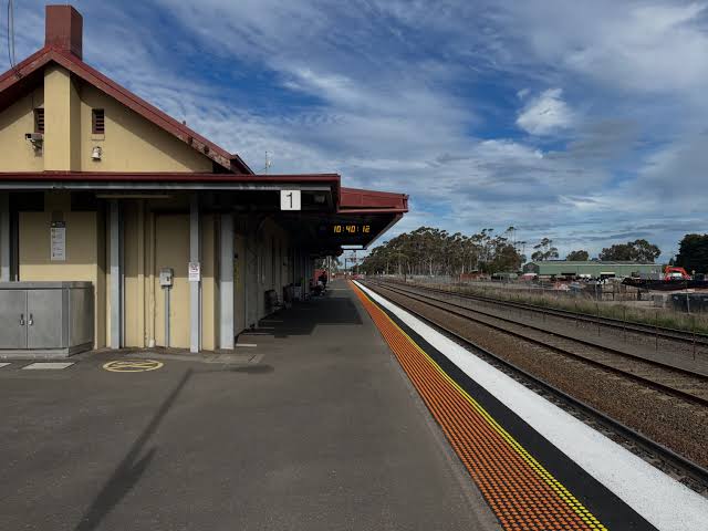
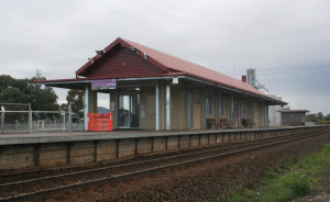
Lara station is one of the ward's genuine assets — a direct line to both Geelong and Melbourne, on a corridor that most growth areas would kill for. It's also, every weekday between about 6:45 and 8:00, a small demonstration of what happens when a town doubles and its station doesn't.
01 / The morning, step by step
Figure 01 · A weekday timeline
How the car park fills.
That last group is the policy failure in miniature: people who want to catch the train, live in a town with a station, and end up on the Princes Freeway anyway because there's nowhere to leave the car.
02 / Why the buses don't solve it
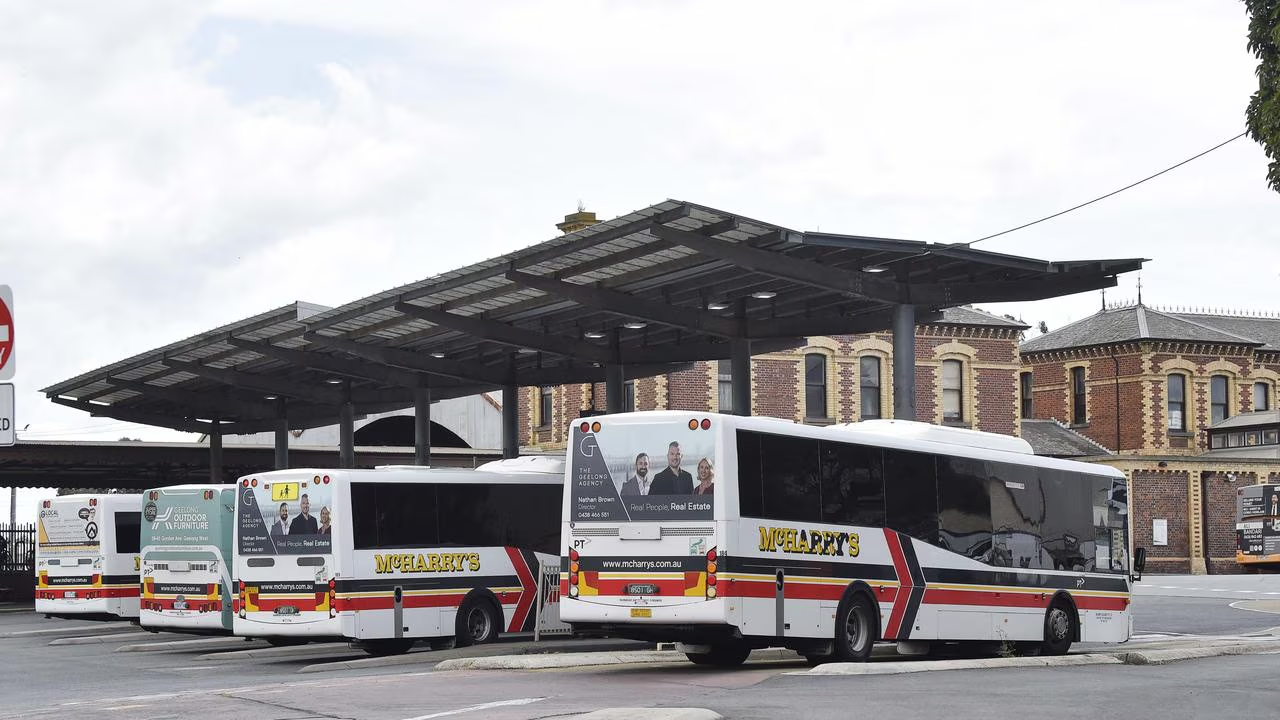
The obvious answer to a full car park is "catch the bus to the station". In Lara, that answer mostly doesn't work, for three reasons. The routes don't reach the newer estates in the west and north, so the people furthest from the station — the ones most likely to drive — have no bus. Where buses do run, frequencies are typically 30–60 minutes, so a missed connection means a missed train. And the timetables aren't built around the train timetable, so a bus can arrive four minutes after the train leaves.
Current connections
- Limited routes covering the older township
- 30–60 minute frequencies
- Timetables not synced to train departures
- Nothing serving most of Lara West
A genuine feeder
- A loop covering Lara West and Lara Lake estates
- Timed to arrive 5–8 minutes before each peak train
- 10–15 minute peak frequency
- Return trips timed to train arrivals in the evening
03 / Walking and riding
A lot of Lara lives within a 20-minute walk or a 10-minute ride of the station. Very few people do either, and it's not laziness — it's the route. Patullos Road has footpath gaps. Station Lake Road is a fast road with a narrow verge. The Six Ways roundabout is genuinely unpleasant to cross on foot, and there's no safe bike route from the western estates that doesn't involve mixing with traffic. Bike parking at the station is minimal and uncovered.
Fix those four things — continuous footpaths, a signalised crossing at Six Ways (coming), a separated bike path from Lara West, and secure covered bike parking — and you'd take more cars out of the car park than any amount of asphalt.
04 / Who's actually responsible
Figure 02 · The responsibility split
| Element | Owner | Council's role |
|---|---|---|
| Station car park | VicTrack / Department of Transport | Advocacy; can offer council land for overflow |
| Bus routes and timetables | Department of Transport and Planning | Advocacy; can fund trial services in some cases |
| Footpaths to the station | Council (local roads) | Direct — fund and build |
| Bike paths | Council (local) / state (arterials) | Direct on local routes |
| Street parking around the station | Council | Direct — time limits, resident permits |
| Six Ways crossing | State ($16m project) | Advocacy on timing |
Three of the six levers are directly council's. That's more than most people assume — and it means a councillor who says "it's a state problem" is only half right.
05 / What I'd push for
- Footpath and bike route audit for every route into the station within 2km, funded in the next capital plan.
- A Lara West feeder bus trial, timed to peak trains — pushed jointly with the state member, with council offering to co-fund the trial year.
- Covered, secure bike parking at the station — a cheap, fast, visible win.
- Resident parking permits on the streets immediately around the station so locals can get out of their own driveways.
- Overflow parking on council-controlled land near the station while the state is pushed on a proper car park expansion.